Ruta 9 - Puerto Natales Illustrated Map of Patagonia Chile
Ruta 9 - Puerto Natales Illustrated Map of Patagonia Chile
Couldn't load pickup availability
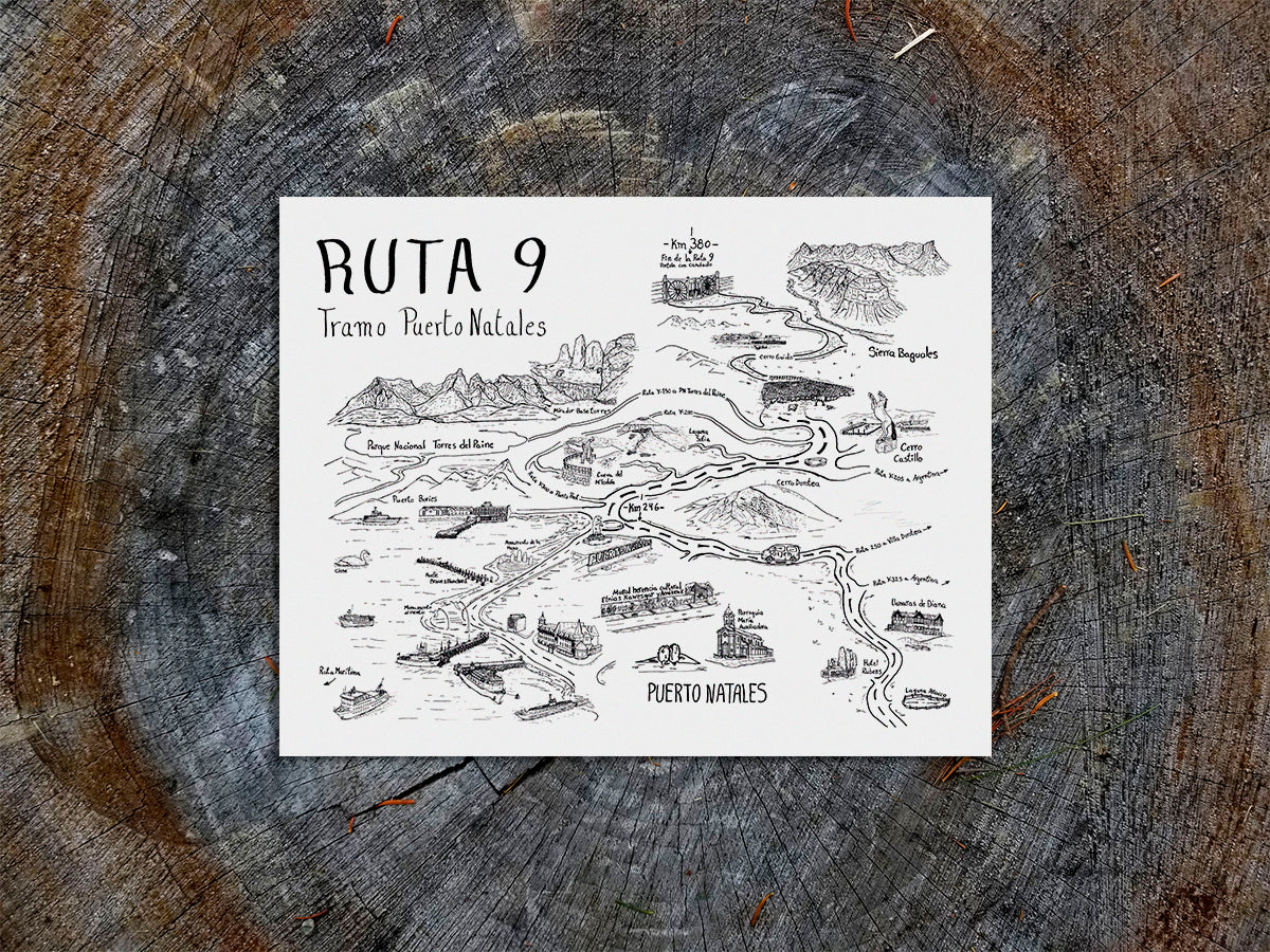
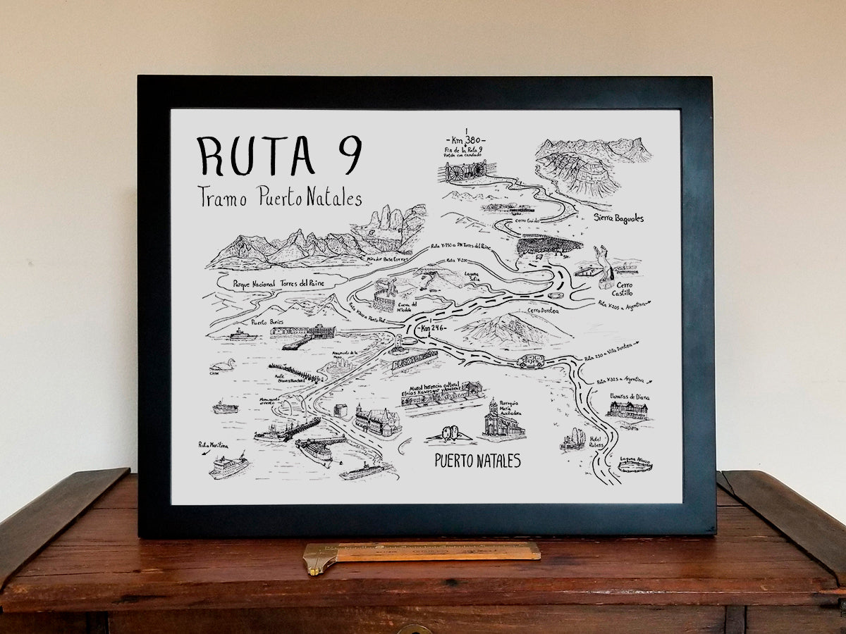
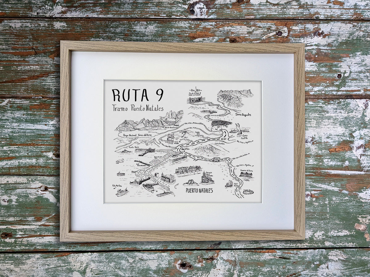
This illustrated map print highlights the iconic monuments and sites on the scenic Route 9 around Puerto Natales, Chile. Features Puerto Natales, Torres del Paine National Park, Sierra Baguales, Puerto Bories, Cerro Castillo, Cerro Dorotea, Cueva del Milodón and more.
To give back to the wild places we love, we donate at least 1% of our sales to organizations dedicated to environmental conservation. We are proud to use recycled and responsibly sourced materials to create our products. Made in USA.
This archival quality art print has been printed with long-lasting pigment inks on thick, recycled cardstock that comes from a paper mill powered by wind energy. It comes packaged with rigid chipboard backing to prevent bending inside a clear, plant-based PLA sleeve that is certified compostable.
Note: Frame/mat not included.
Share


